



Live digital alerting
Geostamps your deployment and routes real-time temporary traffic control alerts to driver navigation platforms and connected vehicles.
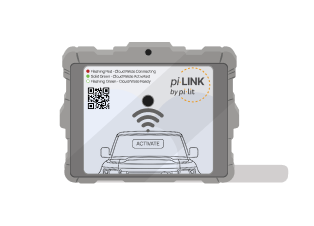
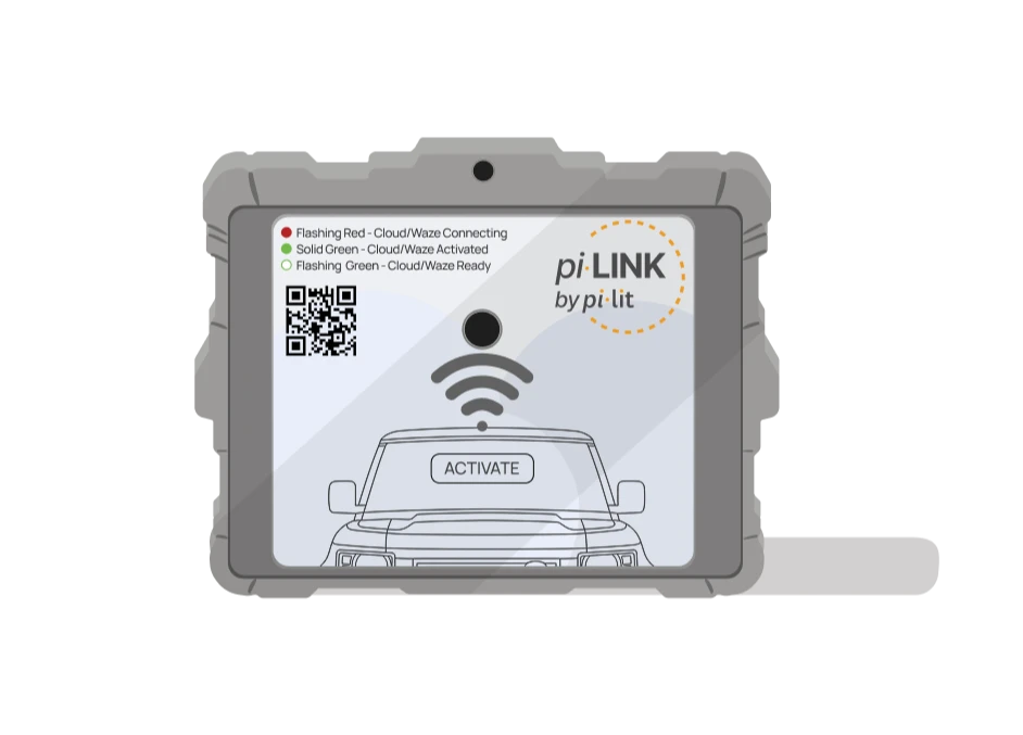
The rugged cellular gateway that geostamps your scene, links your pi-lit cones, flares, and sensors, and connects to our Digital Alerting Platform to warn drivers in navigation apps and log every deployment automatically.
The best warning reaches drivers before they round the curve. The piLINK gateway geostamps your location, links your cones, flares, and sensors on site, and feeds our Digital Alerting Platform so approaching motorists get warned upstream in their navigation apps.
piLINK connects your on-scene pi-lit hardware to the cloud, publishing live digital alerts ahead of the taper while logging every activation.
Press the button, or turn on a pi-lit Sequential Flare or pi-lit Smarter Cone and piLINK activates with it. With the optional light bar integration it goes live the moment the vehicle's lights come on, with no action from the crew.
A digital alert reaches navigation apps and connected vehicles while the closure is still up the road. pi-lit Sequential Flares and Smarter Cones then give every driver, app or not, a directional cue at the scene.
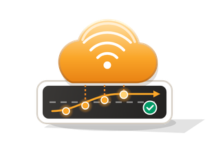
Real-time traffic data is matched to the deployment's road segment and time window and compared with that segment's free-flow baseline. You see the slowdown, not just the activation.
Geostamps your deployment and routes real-time temporary traffic control alerts to driver navigation platforms and connected vehicles.
Broadcasts temporary traffic control events through the USDOT Work Zone Data Exchange (WZDx) standard for state DOTs and traffic management centers.
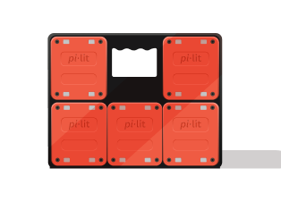
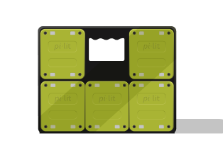
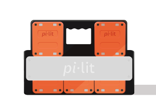
Connects an entire taper of sequential flares, Smarter Cones, lamps, and impact sensors through a single cellular modem with no per-cone data fees.
Wires to your vehicle's emergency or amber light bar, or activates automatically the moment your crew turns on a set of flares or cones.
Logs start and end times, location, weather, device status, and approaching traffic speeds in pi-lit Cloud so safety teams can coach field practices.
Every deployment lands in pi-lit Cloud, built to answer one question: how are drivers behaving when our people are on the road, and what can we do about it?
Start and end time, duration, road name and class, what triggered it, weather, temperature, daylight or night. The scene your crew was working in, recorded automatically.
Each event plots current traffic speed against the road's normal speed for that hour, live while the truck is out and kept afterward.
Activations, hours deployed, maximum and average reduction per vehicle, plus results by road type, because a 45 mph road is a different risk than a 25 mph road.
Pick a date range and get a one-page summary you can hand to a director or attach to a renewal. Monthly snapshots on the cadence you choose.
See which vehicles, sheds or teams activate and which don't, and how often Sequential Flares or Smarter Cones go out alongside the light bar. Set a target and track it month to month.
Compare how different yards or shifts deploy on similar roads, and flag high-speed segments where approaching traffic is not slowing down so supervisors can adjust taper setup.
Last night's deployments, where they were and how traffic behaved, ready for the morning safety meeting. Repetition keeps crews safe; the data gives supervisors something specific to repeat.
Show leadership, in their own numbers, that the system is used every day and that traffic responds. Evidence for a renewal or a wider rollout.
Example output from one utility fleet, September 2025 to August 2026. Every deployment is matched to its own road segment and time window, then compared with that segment's free-flow baseline.
Measured traffic speedFree-flow baseline for this segment
Secondary road, 4 hours 32 minutes, 273 readings. Free-flow baseline 37 mph. Traffic held around 24 mph for the whole deployment.
| Elapsed | Measured | Free flow | Readings |
|---|---|---|---|
| 0 to 30 min | 25.6 | 36.7 | 31 |
| 30 to 60 min | 24.1 | 36.8 | 30 |
| 60 to 90 min | 23.8 | 36.9 | 30 |
| 90 to 120 min | 22.9 | 36.9 | 30 |
| 120 to 150 min | 23.8 | 37.0 | 30 |
| 150 to 180 min | 23.6 | 36.7 | 30 |
| 180 to 210 min | 23.6 | 36.7 | 30 |
| 210 to 240 min | 23.7 | 36.8 | 30 |
| 240 to 270 min | 23.5 | 37.0 | 30 |
| 270 to 272 min | 21.5 | 37.0 | 2 |
Mean of the individual readings in each half hour. The plot draws every reading.
| Road type | Events | Free flow | With piLINK | Slowed |
|---|---|---|---|---|
| Secondary road | 5,499 | 42.8 | 41.4 | 27.8% |
| Local road | 5,366 | 37.8 | 36.9 | 21.4% |
| Major road | 363 | 60.2 | 58.6 | 20.1% |
| Motorway | 452 | 69.2 | 68.9 | 4.9% |
| All measured | 11,680 | 42.1 | 40.9 | 23.8% |
Speeds in mph. Slowed means traffic ran at least 1 mph below the segment's free-flow baseline. A qualified deployment ran at least two minutes.
25%
Risk at 33 mph
10%
Risk at 25 mph
On the 864 deployments where traffic slowed most, the roads' normal speed was 33.5 mph and traffic measured 24.6 mph. That moves a struck worker from roughly a one-in-four chance of death to one in ten, and gives an approaching driver about 20 feet more road over a 1.5 second reaction. Nothing at dispatch marks those jobs out beforehand, which is the case for covering every deployment.
Measured population is piLINK gateway activations, 99.4% of them started by the vehicle light bar. Sequential Flares were recorded on under 1% of these deployments, so these figures measure the digital alert, not the flares. Traffic speeds from commercial real-time traffic probe providers, matched to each deployment's road segment and time window. Impact-speed risk from Tefft (2011), AAA Foundation for Traffic Safety; the curve describes outcomes if a collision occurs, not whether one occurs. Example figures are from one piLINK customer's 1 September 2025 to 31 August 2026 reporting period. Customer name withheld.
| International model | |
|---|---|
| Network | LTE Cat 1, with 2G and 3G fallback |
| LTE bands | 1, 3, 7, 8, 20, 28 |
| 2G / 3G fallback | 900, 1800 and 2100 MHz |
| Coverage | Selected countries in Europe, the Middle East, Africa and Asia, including Australia and New Zealand |
| Carriers | Local carriers in each country, for example Telstra and Optus (Australia), Vodafone and EE (UK), Telekom and O2 (Germany) |
The international model is not certified for the United States or Canada.
Your piLINK gateways connect to pi-lit Cloud through the pi-lit mobile app or a piLINK cellular gateway. Cloud access is included with every connected system.
pi-lit builds smart safety devices that help crews warn earlier, guide drivers clearly, and monitor road assets from the cloud.
Equip a single truck with a portable piLINK gateway or wire it into your fleet's light bars. We will walk your safety and operations team through live deployments, speed traces, and reporting in pi-lit Cloud.
Get a Demo